Traffic Light System
Basic info
The Traffic Light System (TLS) evaluates logical rules that compare observed conditions with criteria for compliance to a particular scheme/measure. It assigns one of the following codes to each Field of Interest (FOI):
- Green: FOI assessed and confirmed as compliant
- Yellow: FOI assessed but there is insufficient evidence neither to confirm nor reject explicitly the declared scheme / measure
- Red: FOI assessed and confirmed as definitely non-compliant
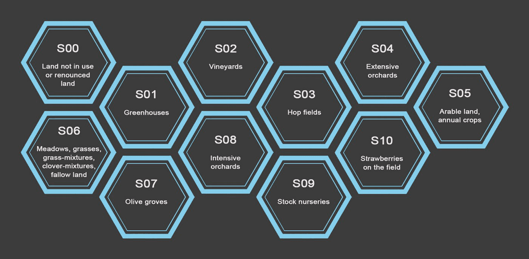
The TLS for the basic payment scheme for Slovenia covers eleven different scenarios, where each scenario incorporates the use of markers and rules and is specially tailored for a specific land-use or crop type.
Further info
Within the basic payment scheme, it is more important to distinguish whether or not parcels are actually managed with some definite agricultural activity, rather than provide evidence that the crop claimed is actually the one grown. Hence, if evidence of any farming activity is found among markers and signals for a FOI, then this FOI is assigned a Green, even if, for example, corn is cultivated on an FOI claimed as winter wheat. Thus, the TLS searches for evidence of presence or absence of farming activity using the following markers:
- Mowing marker searches for evidence that a FOI has been mowed.
- Bare-soil marker searches for evidence that a FOI has been ploughed.
- Consistency of a claim is checked with crop-group classification marker, similarity marker, and Euclidian distance marker. If signals of a FOI are found to be consistent with signals of other FOIs with the same claim, then this serves as indirect evidence of farming activity. Corn, winter wheat, or vegetables for example do not grow by themselves without any farming activity, such as ploughing, sowing, and harvest.
- Consistency of a claim of permanent crop, for example hops, fruit trees, etc., is checked with land-use marker, similarity marker, and Euclidian distance marker.
- Homogeneity marker identifies FOIs with heterogeneous land use that produces noisy signals which cannot confidently be assessed by the above markers.
- Mean-NDVI marker identifies FOIs with very little vegetation cover. A FOI can lose vegetation cover for example when it is turned into a built-up area.
Scenarios are adjustable to business rules of each country’s Paying Agency. The marker system and the TLS are configurable and the Expert App, as well as supporting manual evaluation, enables and supports detailed review phases to check and optimise algorithms and decision thresholds.
Scenarios 5 (Arable Land/Annual crops) and 6 (Meadows and Grasses) are probably the most important ones in most countries. In Slovenia they represent over 90% of all FOIs. In the accompanying two documents we will go through the decision logic of these two scenarios with detailed examples for some of possible decisions.
